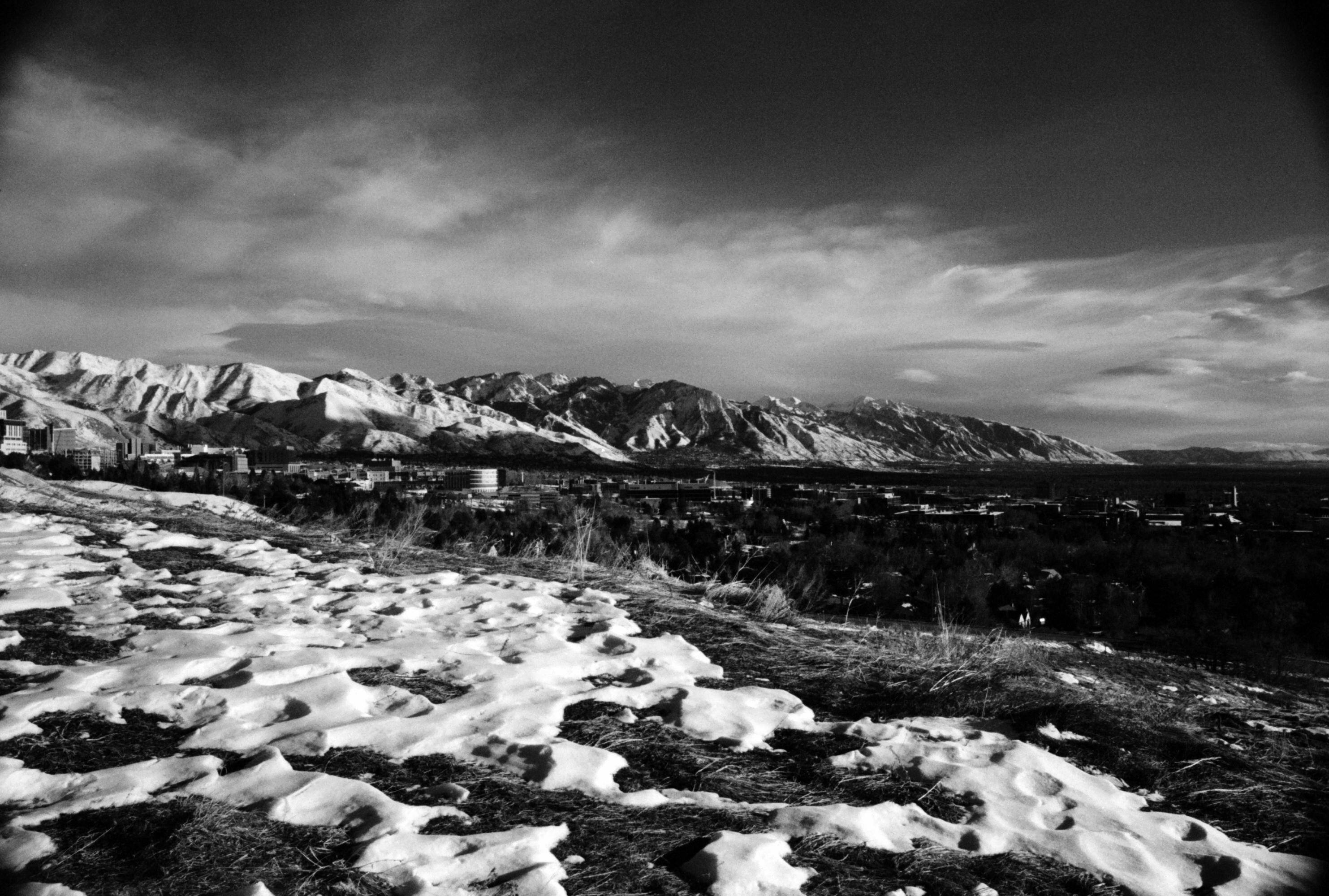

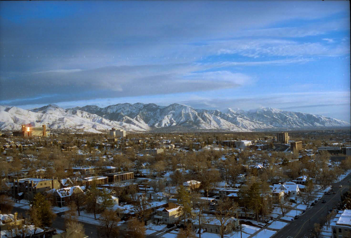
BNW film shots from behind Shriner’s the other week- definitely one of my favorite spots in Salt Lake. Most of you will notice the image of Lone Peak, which is my favorite mountain in Utah. Unbeknownst to many, a plane crashed near the summit in 1936, which brought Amelia Earhart herself to Salt Lake in an attempt to locate the wreckage.
6 Likes
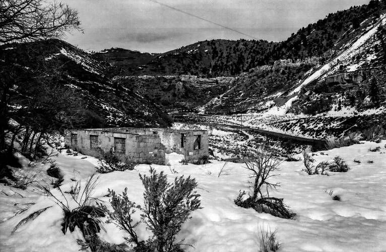
These are the remnants of Latuda, Utah. I visited about a year ago and the review saying that the snow could be “impressively deep” was absolutely true. The town is located about 5 miles from Helper and there’s not much left of it.
5 Likes
Great photo and interesting place, with an interesting history…
My FIL had an aunt, Puddie (Ruth) Valentine, who was born in Brigham City sometime in the early 1900s, who trained as a school teacher and took her first job in Latuda. After a few years, she moved to Castlegate, another old mining town which is now a ghost town, also near Helper. She moved, the story goes, as Castlegate was apparently less isolated.
She worked as an old maid school teacher her entire life. In 1974, the mining company, which owned the entire town, closed the town and moved all of the residents and many buildings to Spring Canyon just outside of Helper.
Puddie retired about that time and met and married a fellow from Helper. I met Aunt Puddie once in the late 70’s, at the first Valentine family reunion I attended after marrying into the family. She was one of my FILs favorite people and he talked about her a lot, mostly noting that she had lived a very difficult life.
There is (or was the last time was through there) an interesting little local historical museum in Helper with a lot of info and photos of both little towns and of Helper.
3 Likes

@salUTE Fascinating info!
1 Like
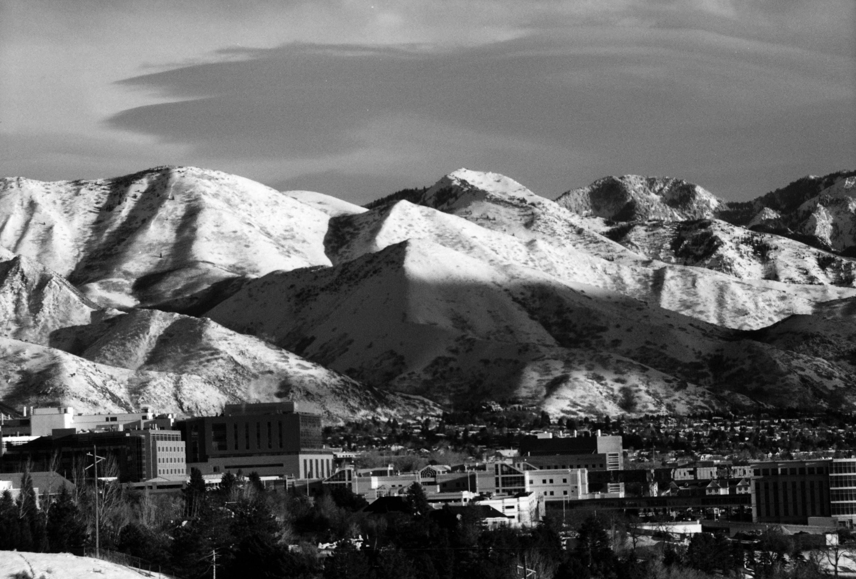
Cinestill 400D film shot on a Minolta SRT-100 (@LAUte ’s missionary camera) with a 135mm telephoto lens at about 5:30 in the evening.
3 Likes
9 Likes
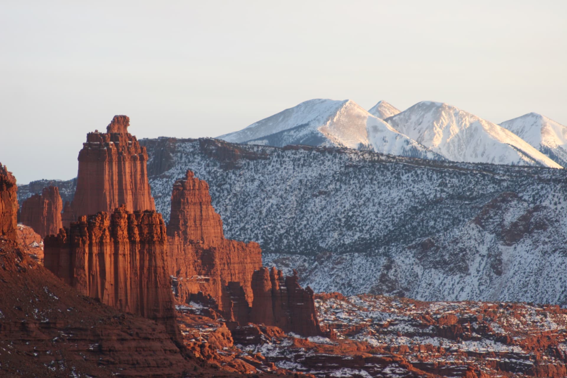
“California dreaming! (California dreaming)
On such a winter’s daayyyy”
4 Likes
Sometime, fairly early in my career (late 80s’s), I was working for Unisys, doing UNIX OS development and representing them on UNIX International Standards committees. On a trip to London to meet with a POSIX committee, I took the following photograph on the way into the subway.
I had it framed and it was a fixture in every cubicle, shared office, office or suite I occupied until I retired recently. I just unpacked the box from my last office as an employee, found it, and put it on the wall of my home (now only) office.
I’d like to think I lived up to the reason I took the photo in the first place, the phrase, “Keep Your Standards”. I probably didn’t do nearly as well as my memory believes I did, but I’ll keep trying.

6 Likes
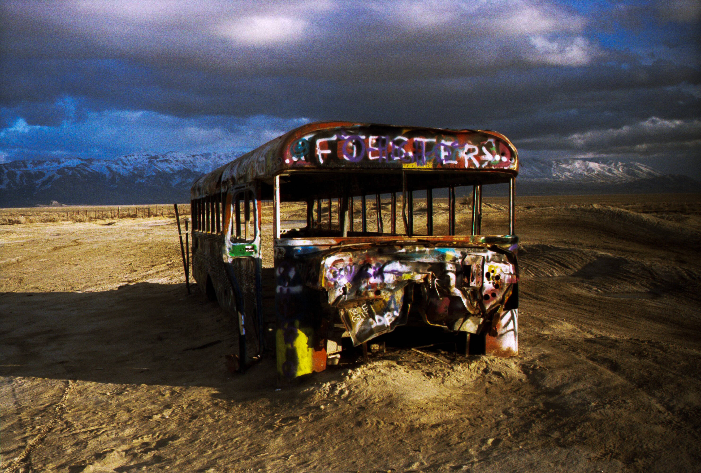
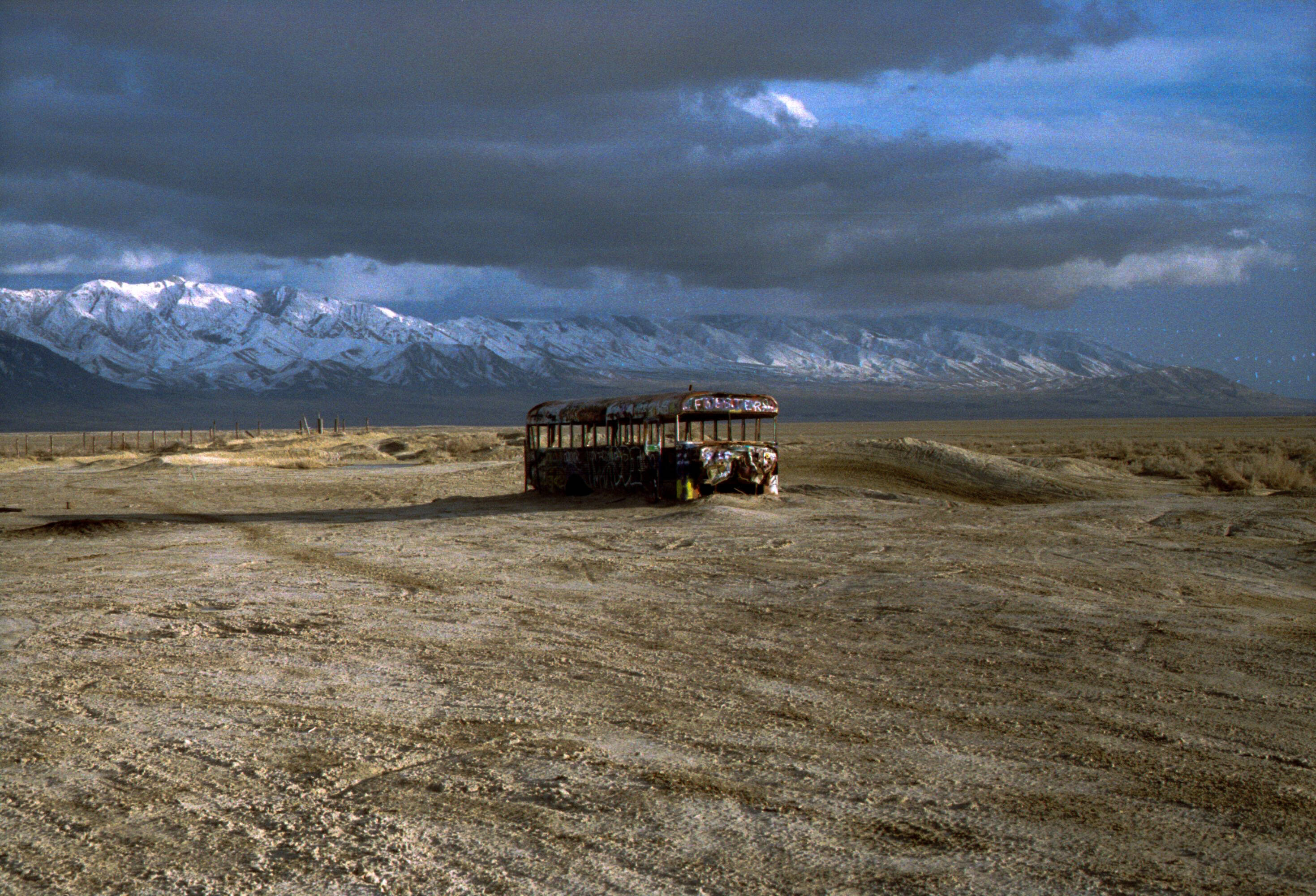
There’s an abandoned school bus in Delle, which is located in Skull Valley about 20 miles west of Grantsville. I’ve been out there a few times to take photos and I thought I’d get some of this interesting desert landmark. Does anyone know more about the town of Delle and what it once was?

4 Likes
The history of Delle? Actually, pretty interesting. It was a water stop on the Western Pacific railroad in 1880, 11 years after the transcontinental railroad was established on the north side of the GSL at Golden Spike.
Delle, Utah - EverybodyWiki Bios & Wiki
Delle became a gas station / motel in the 1950s to try and take advantage of this new Interstate system being built, similar to the now gone Knolls further west. Gas stations, water & lodging stops were much more frequent than today.
Here’s a spot about 5 miles west of Delle, right at the bend in I-80 at the north end of the Cedar Mountains Wilderness Area, overlooking Puddle Valley.
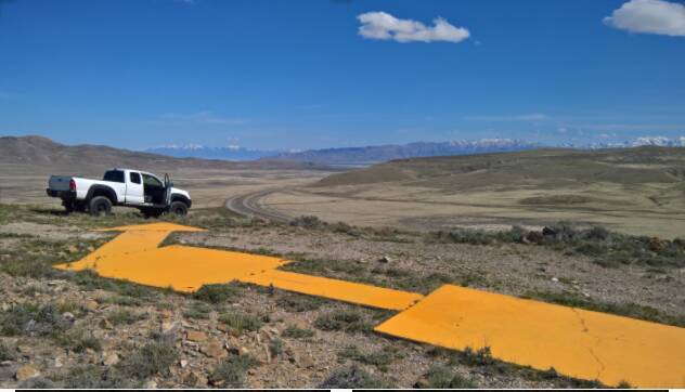
This is a concrete arrow somebody repainted yellow, part of network of similar aviation navigation aids from the 1920s, as aviation was just getting started as a commercially viable enterprise, hauling the US mail and small numbers of passengers. This was the mail route from San Francisco to SLC, a turn to the SE to avoid hitting the Lakeside Mountains.
Aviation safety has come a ways, since then. ![]()
6 Likes
Now that is pretty dang cool. I had no idea stuff like that is out there.
3 Likes
I wonder what altitude they were flying and how far apart they were spaced
Very cool ! I always shake my head in amazement as to what early aviators had or more amazing, what they didn’t have to navigate the world.
After I found that arrow and did some research on what they were used for, I read a little on the early history - Western Airlines was one of the earliest airlines. Basically, to help develop the aviation industry, the government offered contracts for expedited mail service (ie, “Air Mail”).
It was pretty crazy, by today’s standards. Open cockpit biplanes, they could get up to about 15,000 feet if conditions were right, but no oxygen, no radios, no electronics. Two flights a day, so spacing and separation were non-factors.
Some pilots would follow the railroads if the weather was bad so they could put it down and hitch a ride on a train to keep the mail moving, if need be. Before these arrows, the airline would contract with certain farmers along the way, who would build a fire at scheduled times as a navigational aid.
Maybe the most amazing thing is Western Airlines operated for 8 or 9 years before their first fatal accident. That’s pretty impressive, those pilots got to be true masters of airmanship & manual navigation.
6 Likes
My Pop flew for Western, and retired from Delta in 94’
1 Like